Blackwater Falls – A Powerful Experience
The roaring falls of Blackwater River can be heard for miles around. Located near Davis, West Virgnia, these falls have become one of the most photographed sites in the state.
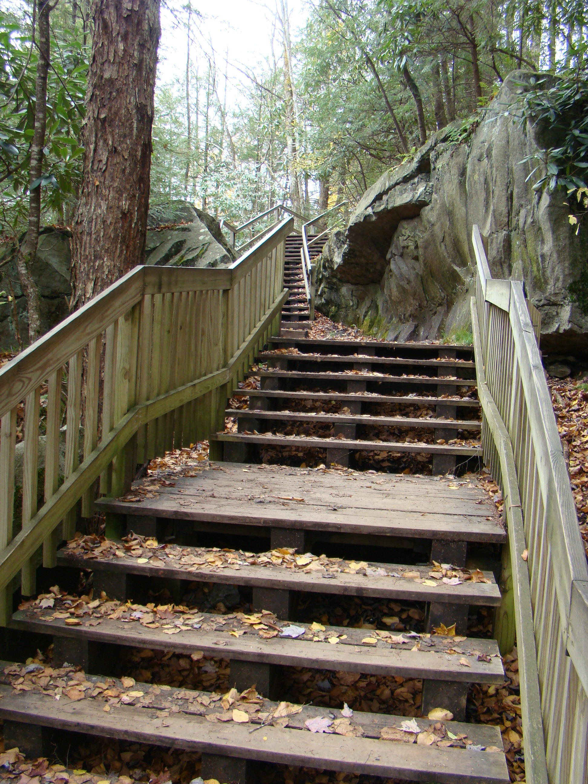
Steps to Blackwater Falls
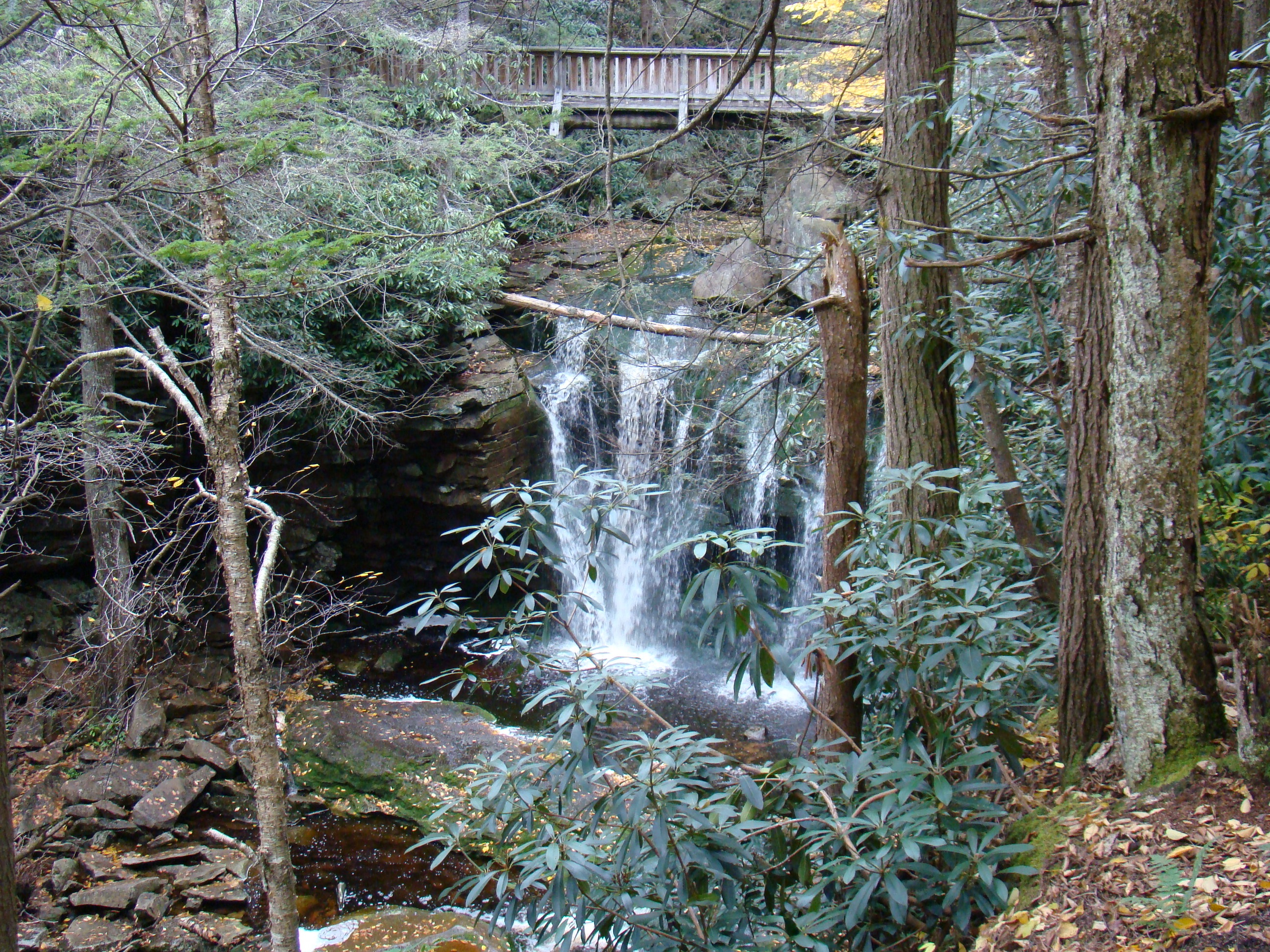
When you arrive at the Blackwater Falls sign, you notice that it says 214 steps to the falls. As you start down the first steps, it seems like an endless adventure as group after group of steps appear. Youngsters step gingerly down the steps, counting as they go to see if that number is actually correct. Several viewing platforms have been placed for enjoyable viewing, as well as a spot to rest.
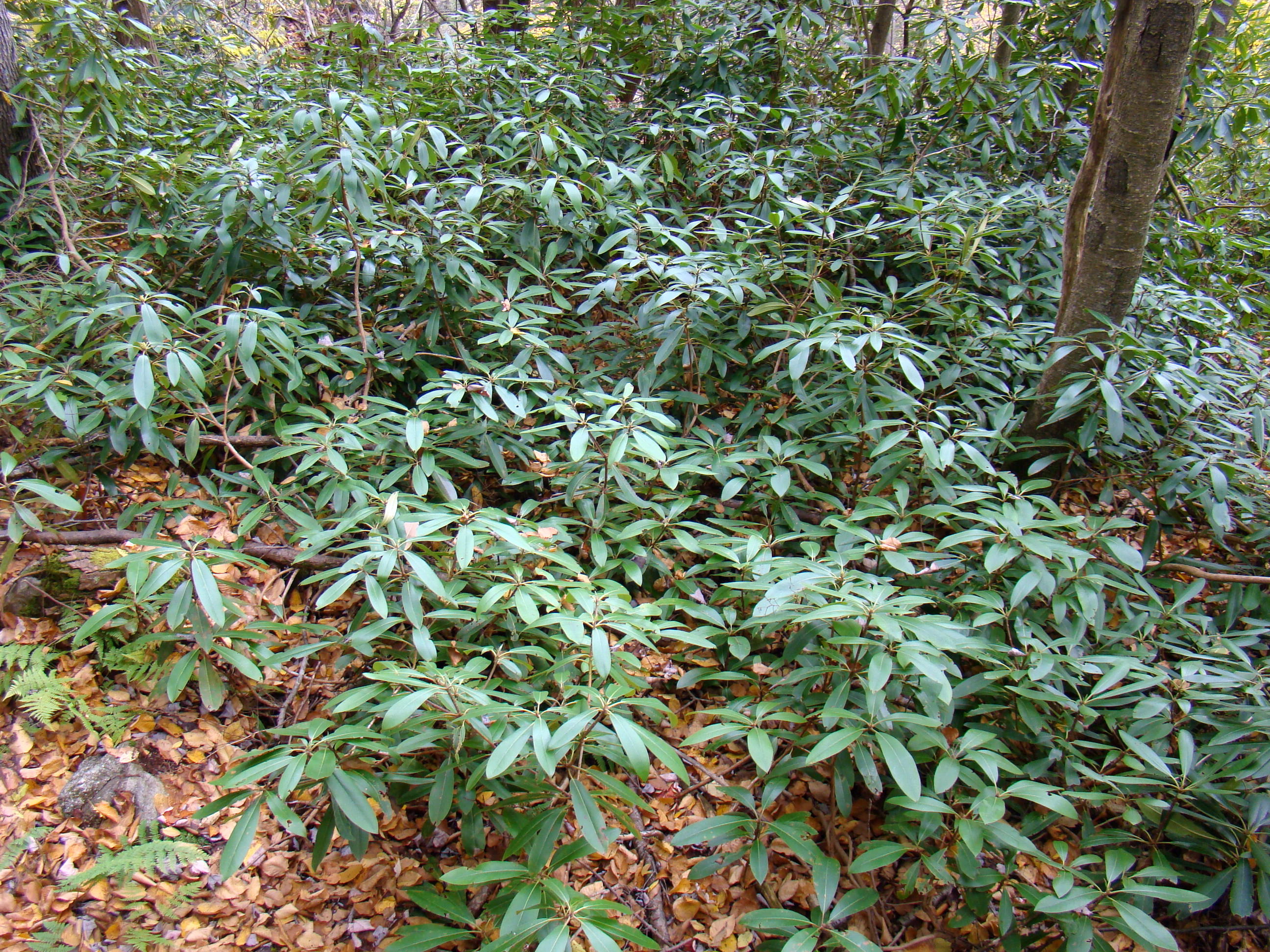
Mountain Laurel already produces blossoms for next spring.
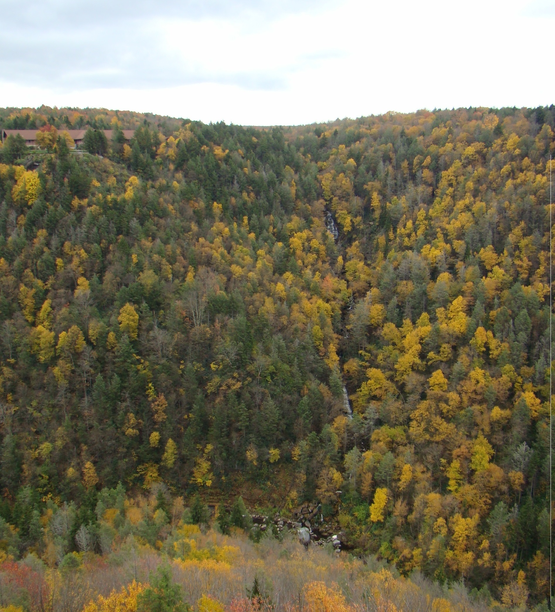
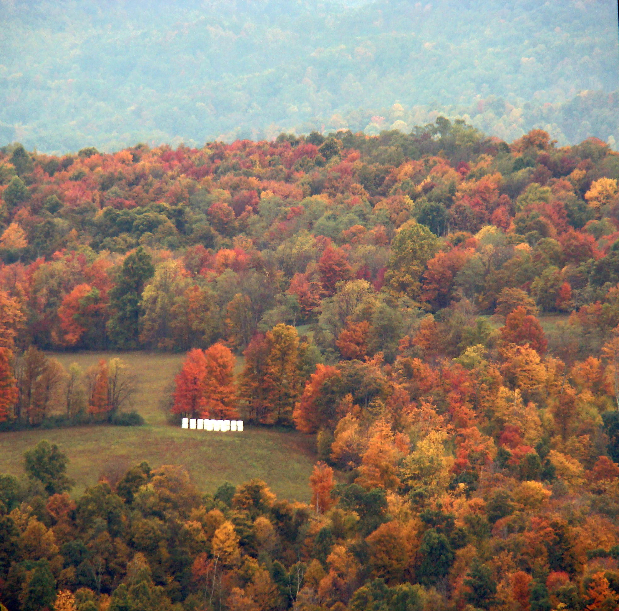
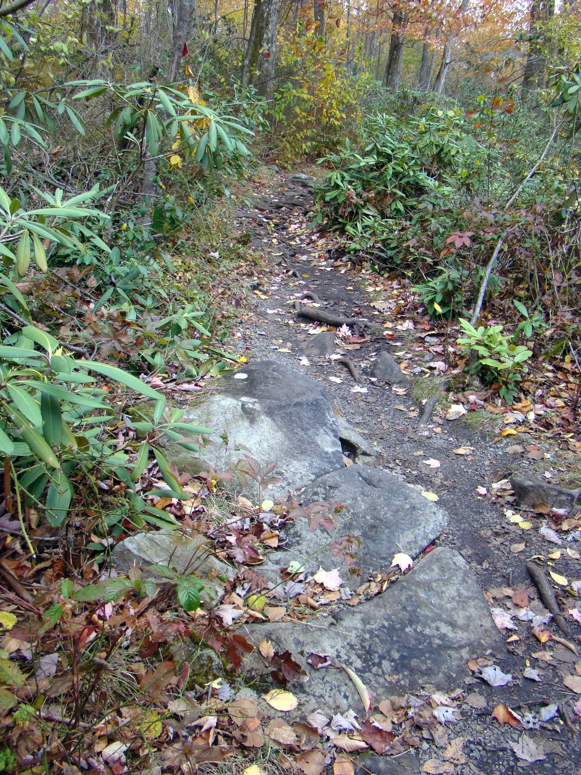
Along the way, the forest flourishes with mountain laurel plants, already forming blossoms for next season. In the fall, autumn leaves add color to the greenery of the pines.
Posted signs give interesting, helpful information regarding the falls. One sign points out that the walls of the falls are composed of “Salt Sand” used by drillers. This Conoquenessing sandstone strongly resists forces of nature, and forms the canyon walls and Blackwater Falls. This special sand assists in the production of oil and natural gas in West Virginia.
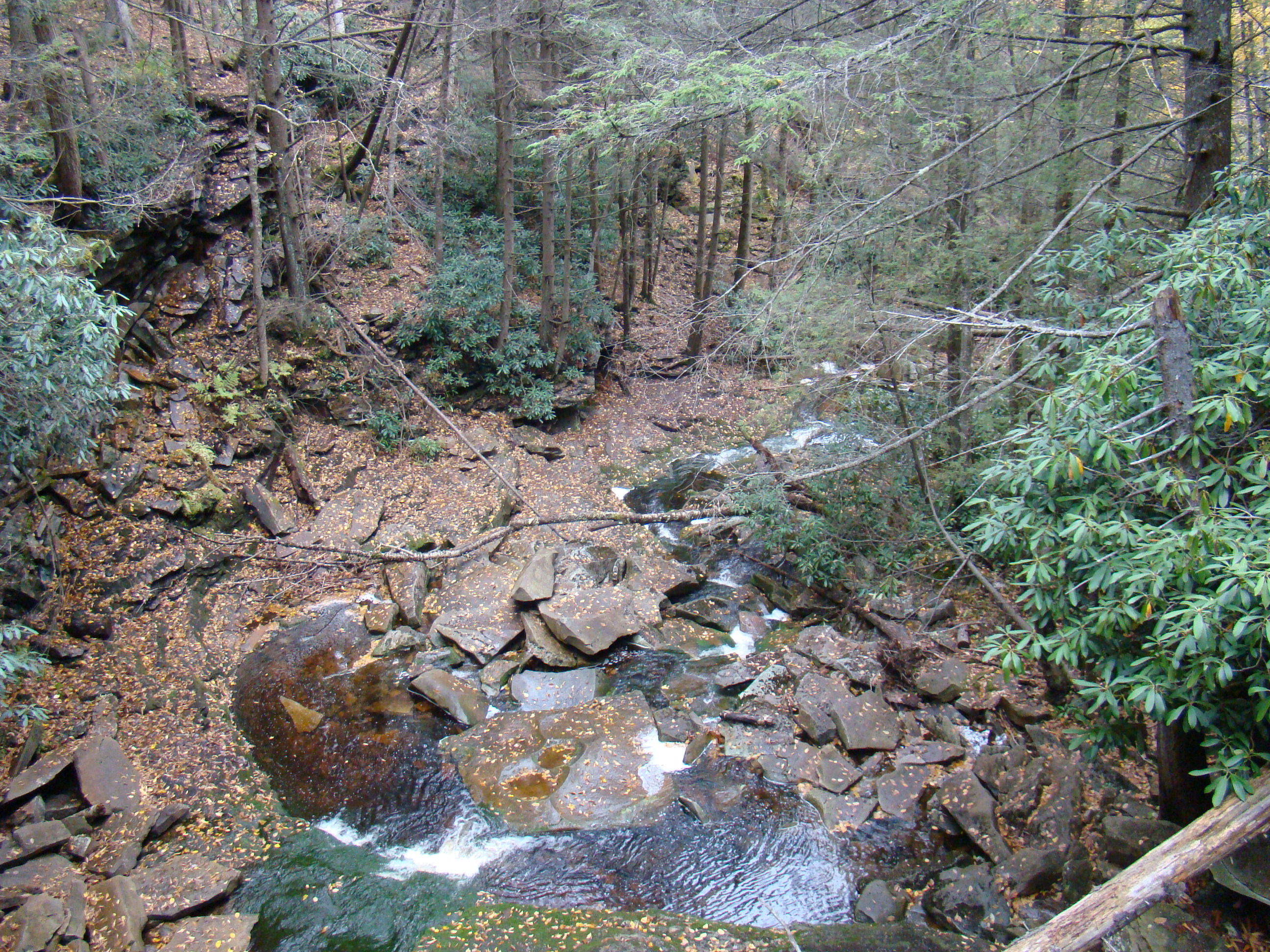
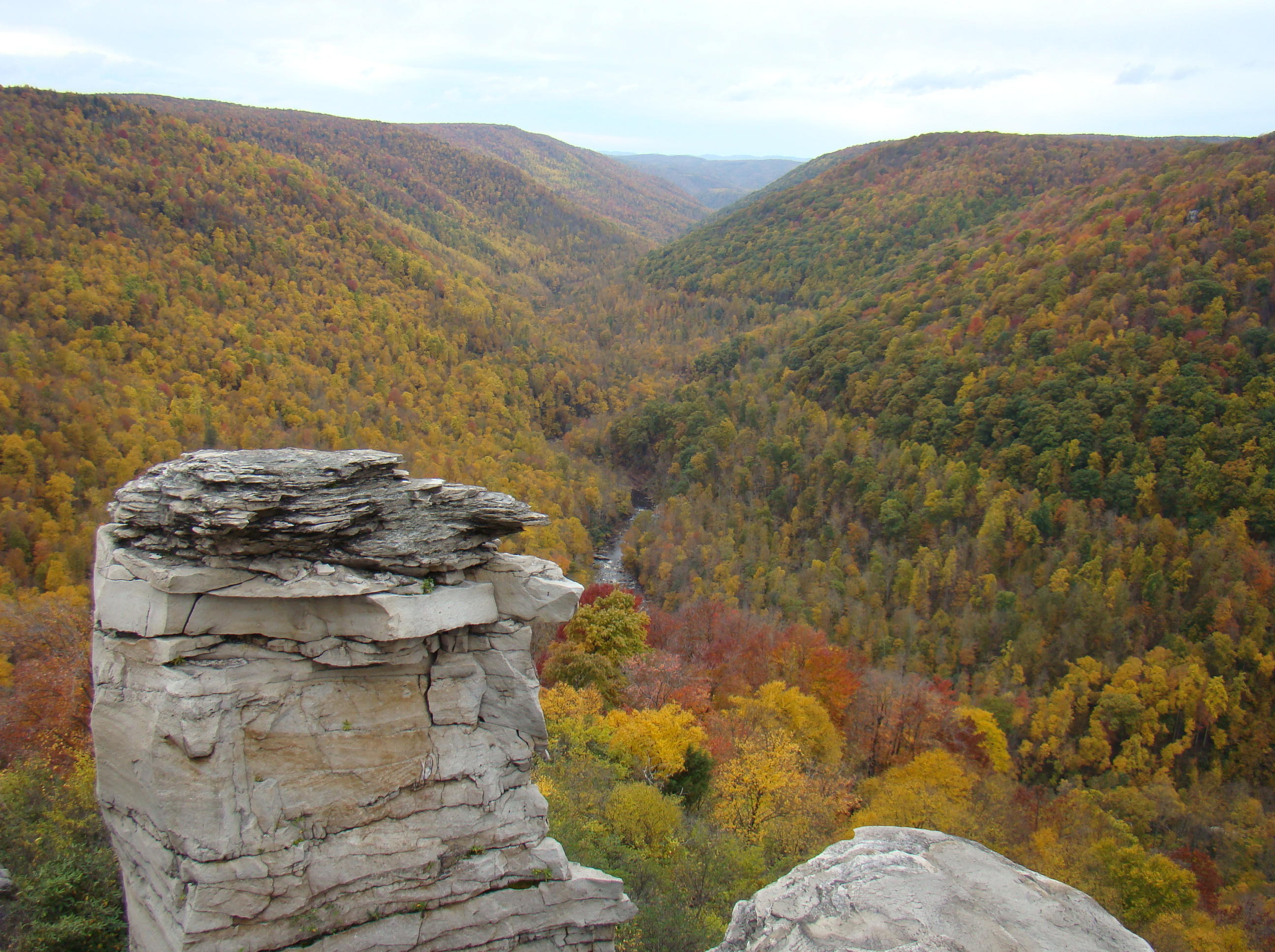
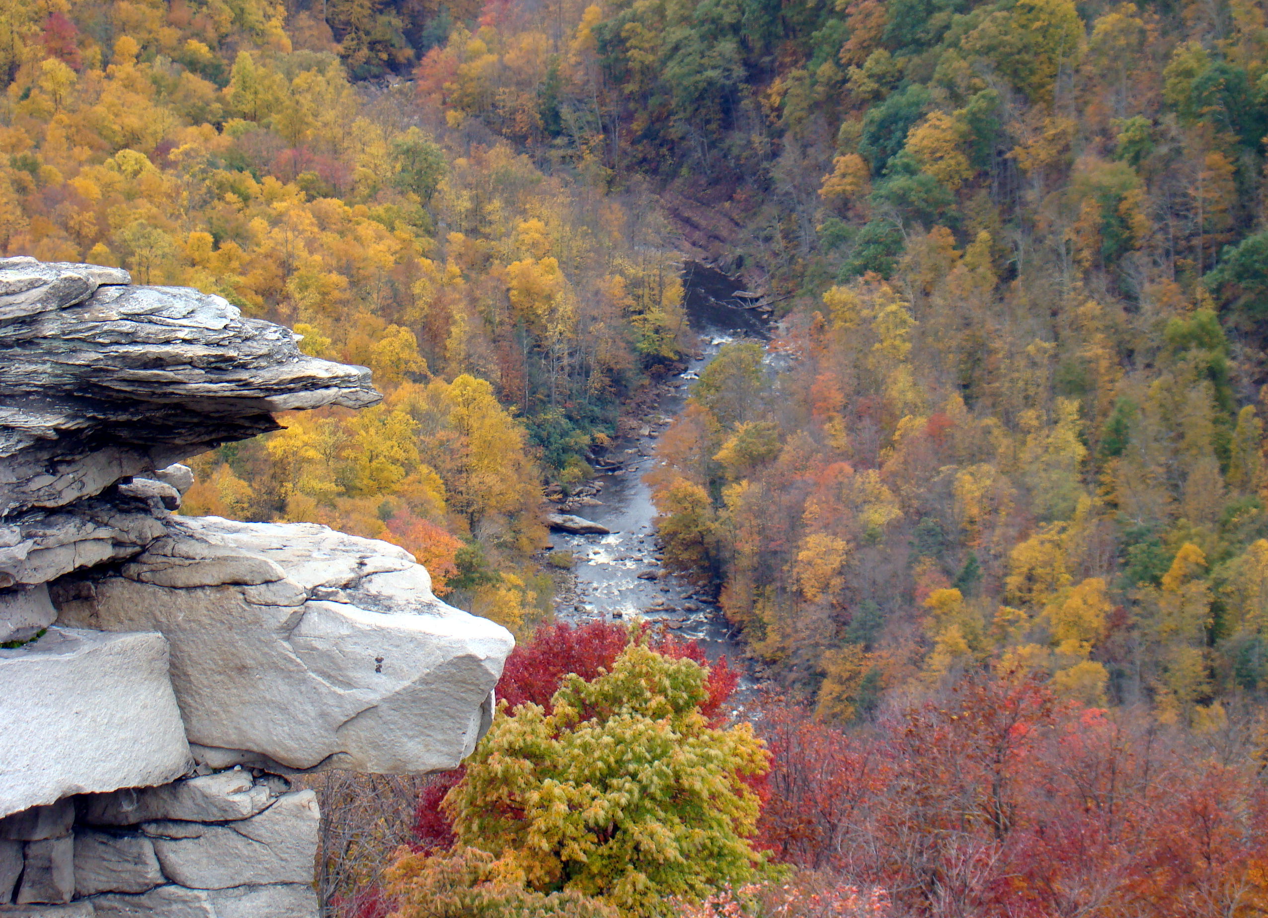
Sandstone began to form here over 230 million years ago as deposits of sediment were deposited in large basins that covered present day West Virginia. Over millions of years, most sediment deposits squeezed and changed the underlying sediment to rock. The large boulders at the base of the falls were once part of the cap rock.
Beautiful Blackwater Falls
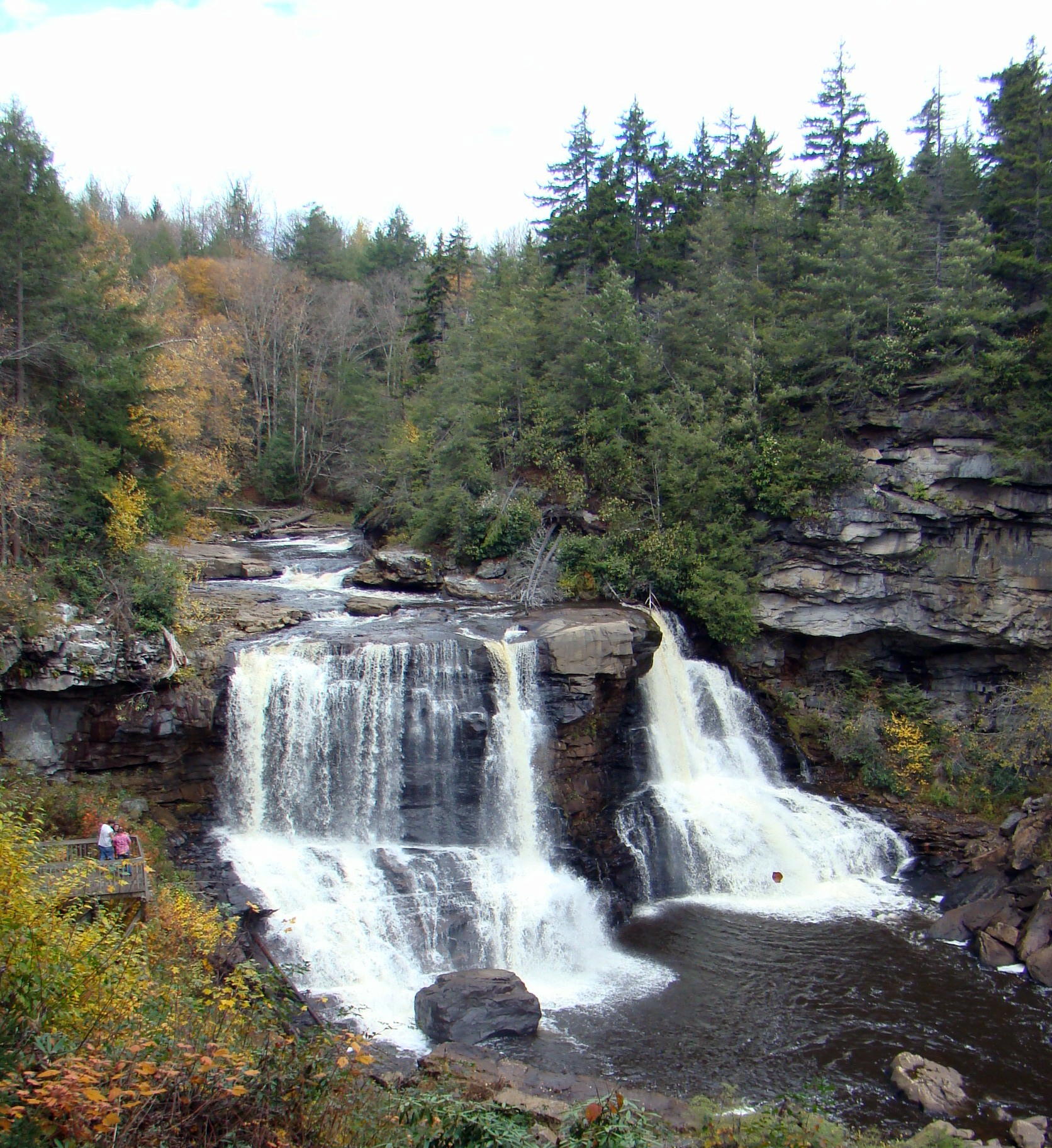
The first glimpse of the falls even from afar takes your breath away. When you get closer, you can actually feel the spray from the water on your face. As it descends the falls, the water appears amber, or tea colored as it plunges straight down about sixty feet before it twists and turns down the eight mile long gorge. Since the color appears darker than most waterfalls, it received the label of “black” water. The color results from tannic acid emitted by fallen hemlock and red spruce needles.
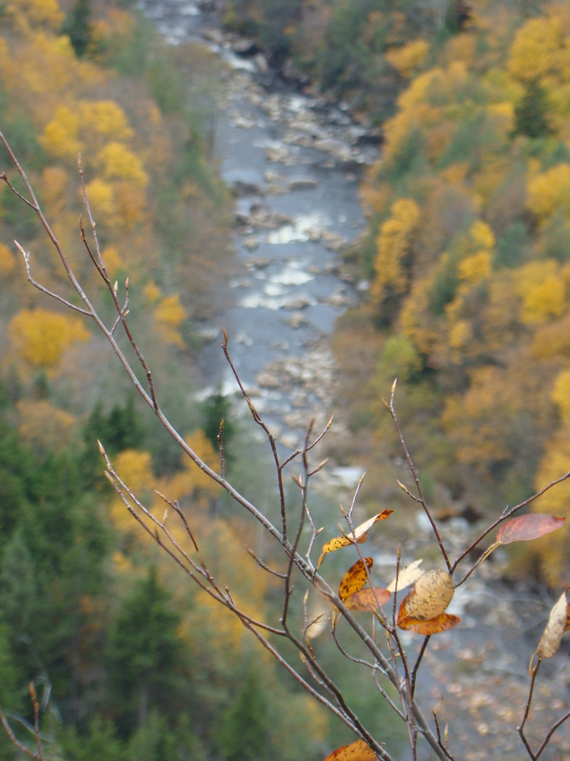
Blackwater River flows on.
As you watch the bubbling mountain stream at the top of the falls, it suddenly picks up life as it tumbles over the edge, swirling as it goes.But it’s pure pleasure to sit on the deck of the overlook and listen to the powerful sound of the falls with its unending flow. Sometimes during the year, the falls either slow down to a trickle, speed up to a torrent, or even partially freeze over.
Everytime you visit will be a new experience!
Blackwater Falls can be found in northeastern West Virginia near Davis. Natural treasures like this remain off the beaten path so directions vary greatly depending on your direction of travel. Definitely worth the trip!