Life on a Riverboat
Drifting with the current down the Ohio River has been experienced by many for centuries. While those early days provided an easy way to move products and people, today there have been many changes on the river, especially with the riverboats driven by steam.
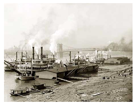
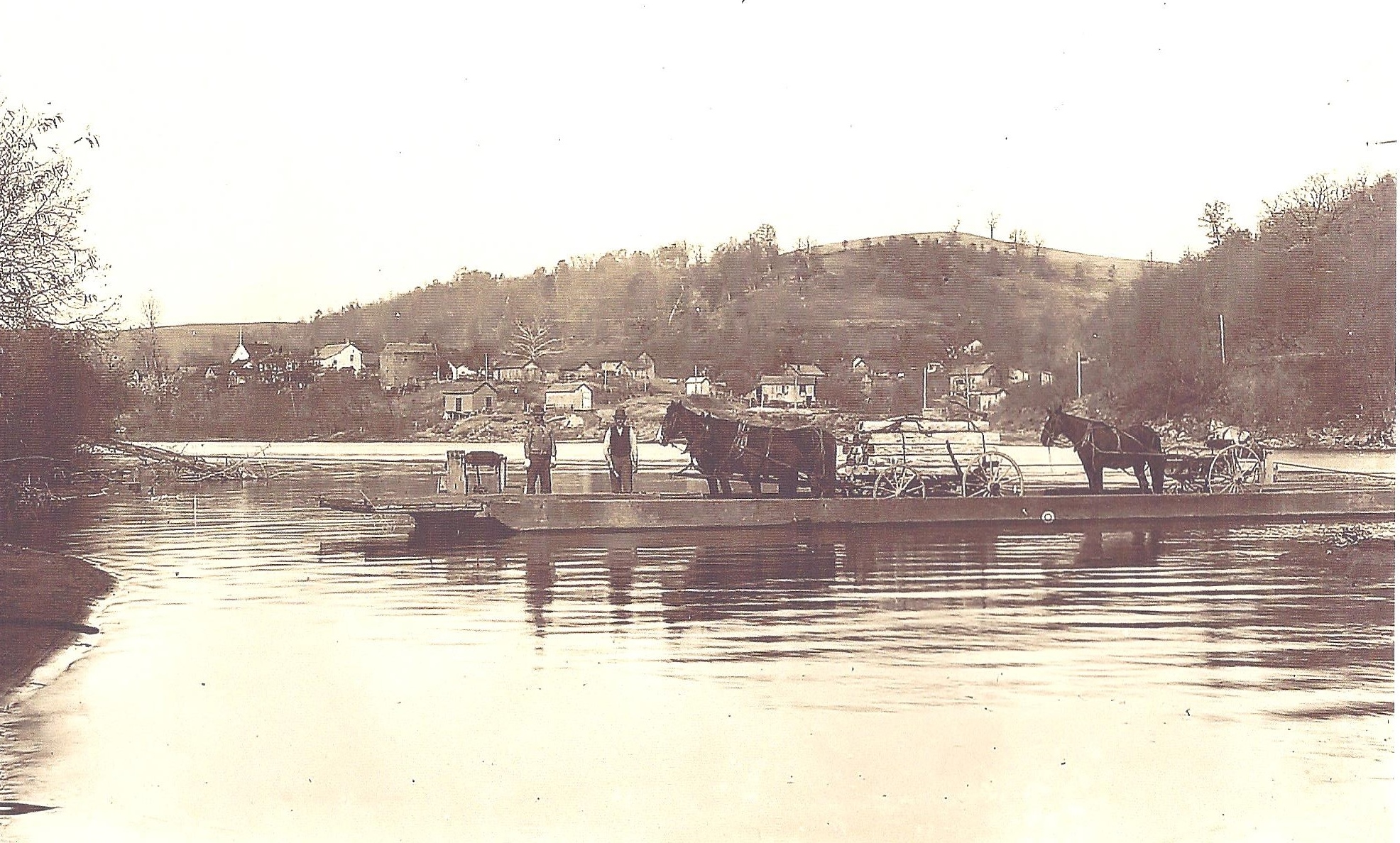
During those early days before the railroad or paved roads, towboats were frequent on the river hauling coal, food, and steel. This was a quick and easy way to move things. Men in good physical condition worked on these boats around the clock surrounded by hazardous conditions and constant noise.
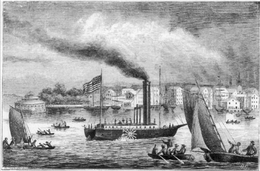
In 1811, the New Orleans made the first steamboat trip down the Ohio River and Mississippi River from Pittsburgh to New Orleans. The success of this adventure opened the door for more trading to the cities along the rivers. Passengers began using it as a faster method of getting from place to place.
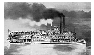
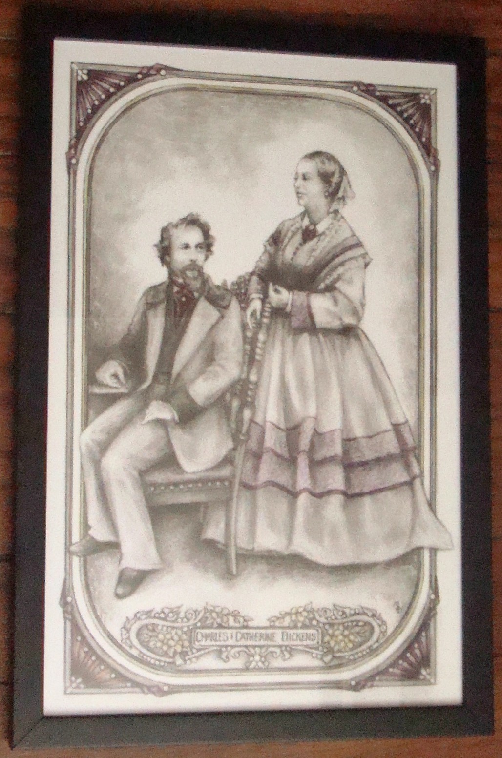
For five months in 1842, Charles Dickens visited America with his wife, Kate, her maid, Anne Brown, and his secretary, George Putnam. They traveled to Pittsburgh by canal, stagecoach, and train before climbing aboard the riverboat, Messenger, for a trip down the Ohio River.
The Messenger held about 40 people on deck with the lower level being filled with the poor, emigrants, and children. Dickens felt lucky that they had a cabin in the stern as he worried about the fierce fire that raged in the body at the forward end of this boat built of what he called “a frail pile of painted wood
Meal time was not pleasant for him as there was no lively conversation. He said the creatures would empty their trough then head to stand around the fire and spit, a habit which he deplored.
Charles and Kate would sit outside their small room on the gallery where they could watch the scenery as they drifted down the river. Charles explained the scenery in this colorful way:
For miles and miles the banks were unbroken by any sign of human life or trace of human footsteps. Nor is anything seen to move about them but the blue jay, whose colour is so bright, and yet so delicate, that it looks like a flying flower.
After three days, they reached Cincinnati where Dickens finally found some intelligent conversation. He loved the town and the free schools, as education was something very important to Charles Dickens.
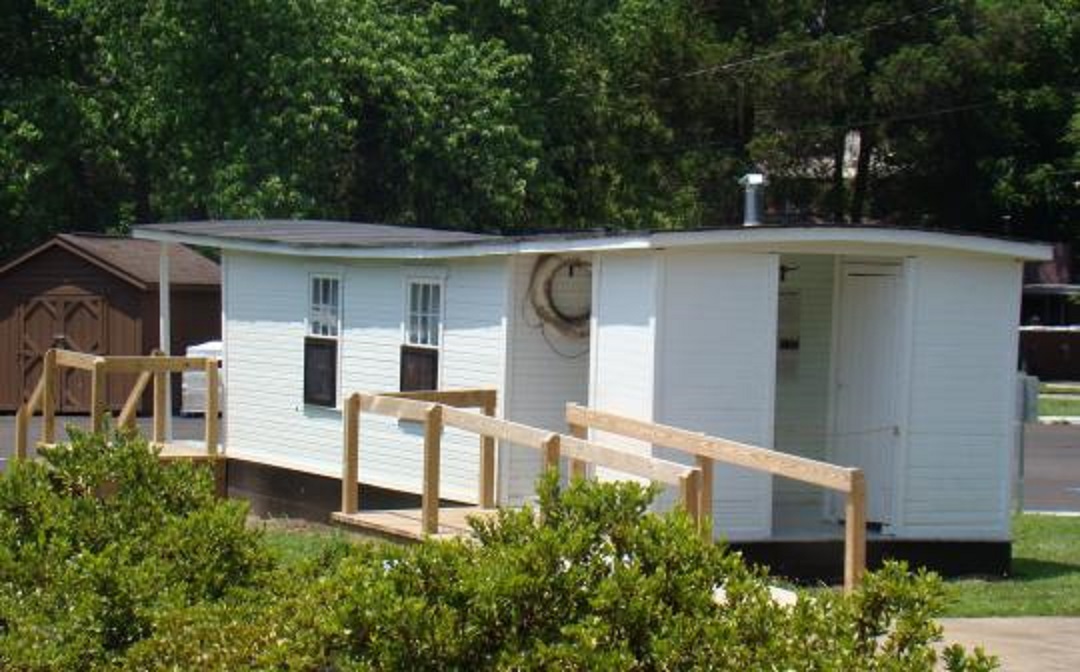
As they pulled into Cincinnati, they could see shantyboats along the shore. These rough built homes were used by those who wanted to move from place to place along the river with their families. Often, they were homes for people looking for work but also for thieves and law breakers. They always served as a great place to escape paying taxes.
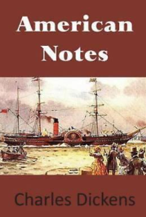
Throughout his journey, it’s no surprise that Dickens wrote in his journal daily about what he saw and felt about America. Perhaps you would like to read his entire story in his American Notes.
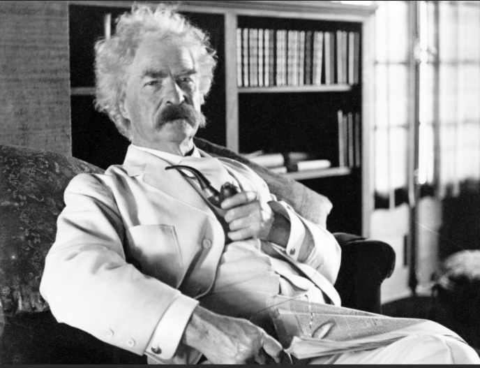
A few years later, Mark Twain published a book about his travels on the Mississippi River. When Twain wanted to get his riverboat pilot’s license, he was told he had to memorize the 1,200-mile Mississippi River in detail. The story of his adventures as a pilot and later as a passenger became a boon to the riverboat industry as more and more people wanted to experience the tales told by Mark Twain in his book , Life on the Mississippi
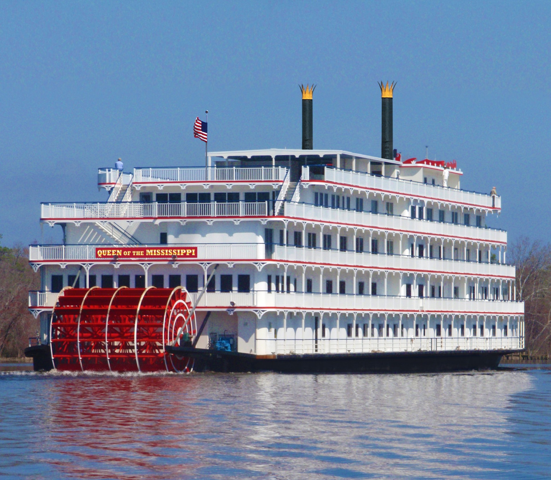
Today, riverboat travel on the Ohio and Mississippi has changed with the boats being more luxurious. Many people enjoy taking a short vacation on the river while being served gourmet meals, visiting historical spots along the way, and having evening entertainment.
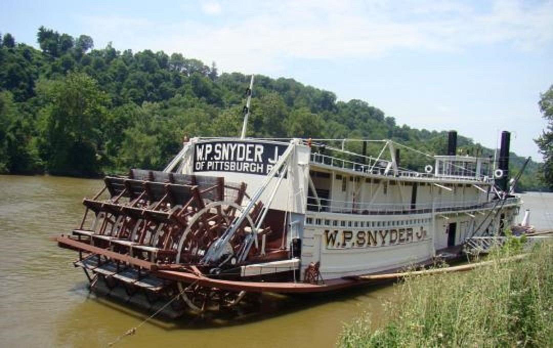
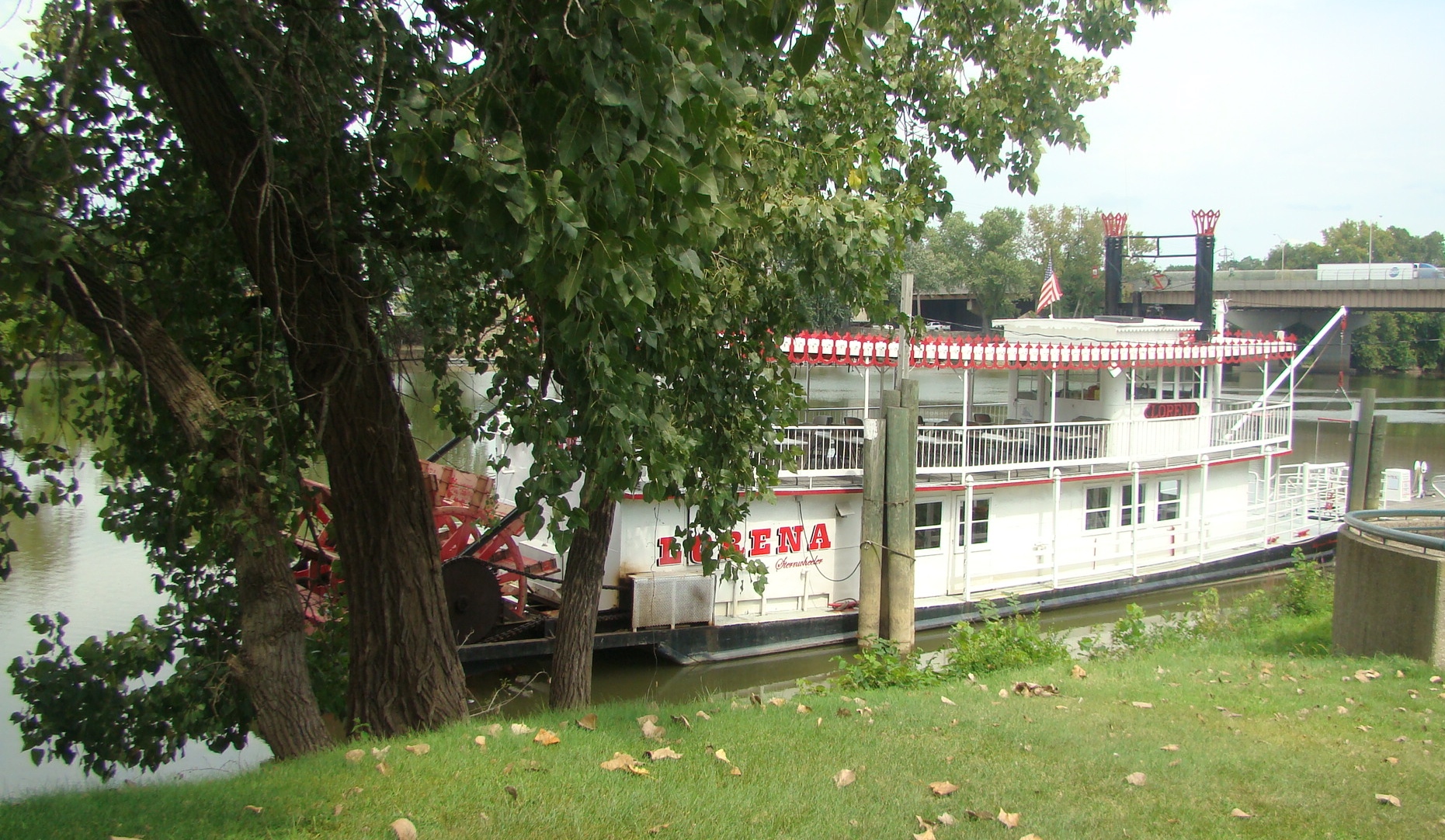
When a boat pulls into dock at one of the towns along the way, as soon as people hear the sound of the calliope, they head to the shore to watch the paddlewheels and listen to the music.
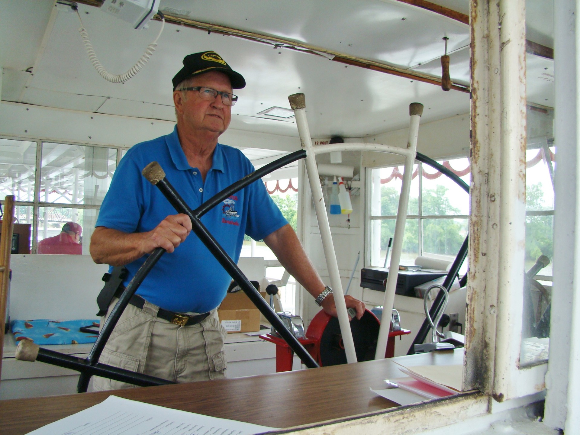
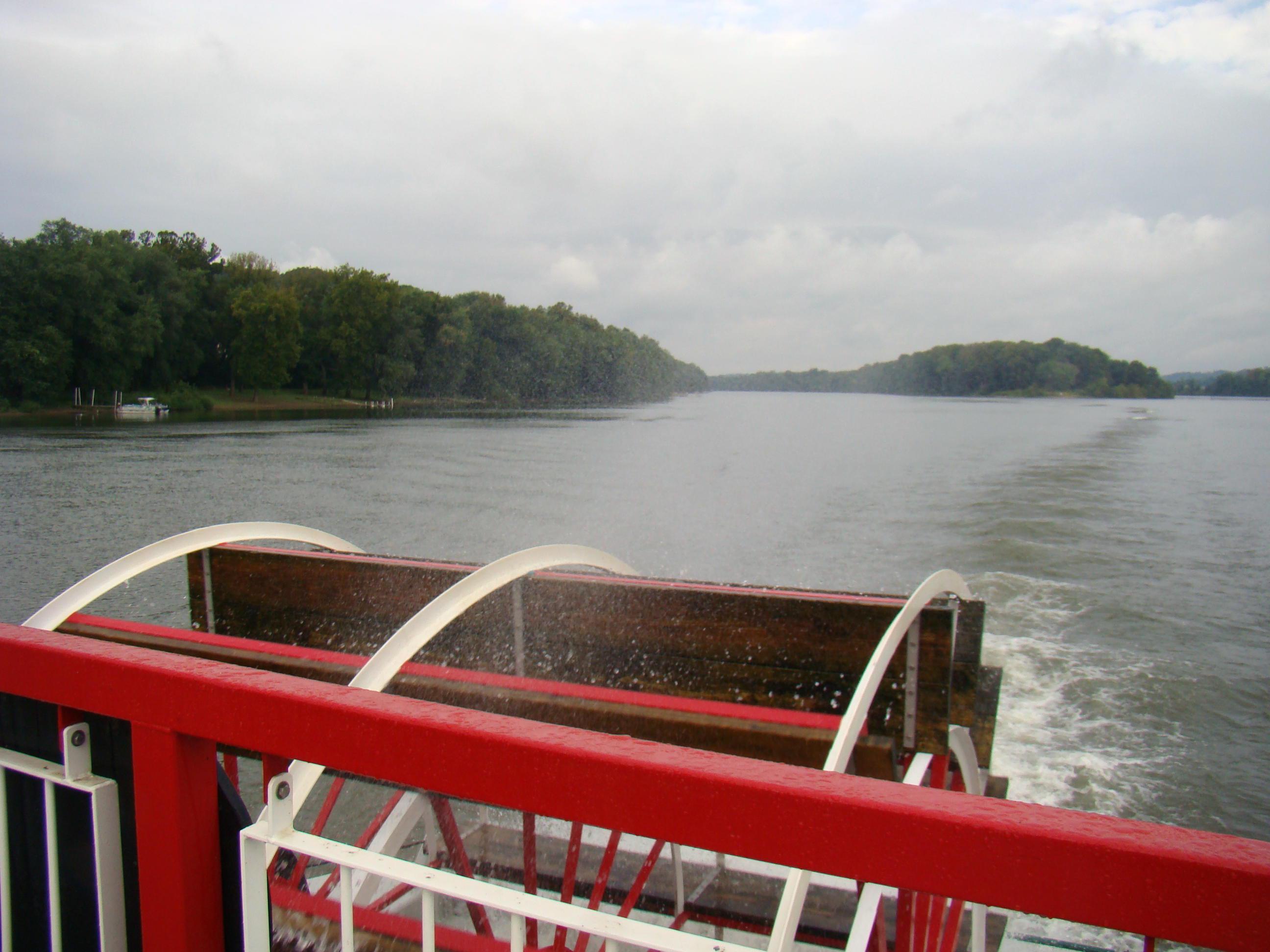
Our area is fortunate to have two small riverboats, Valley Gem and Lorena, operating for day trips in Marietta and Zanesville. These rides are always a pleasure as you catch a slight breeze as you feel the boat moving through the water and catch a little spray from the paddlewheel. It’s a cool way to spend a hot summer day.
Perhaps you would enjoy a riverboat ride down the Ohio River. It’s on my bucket list!


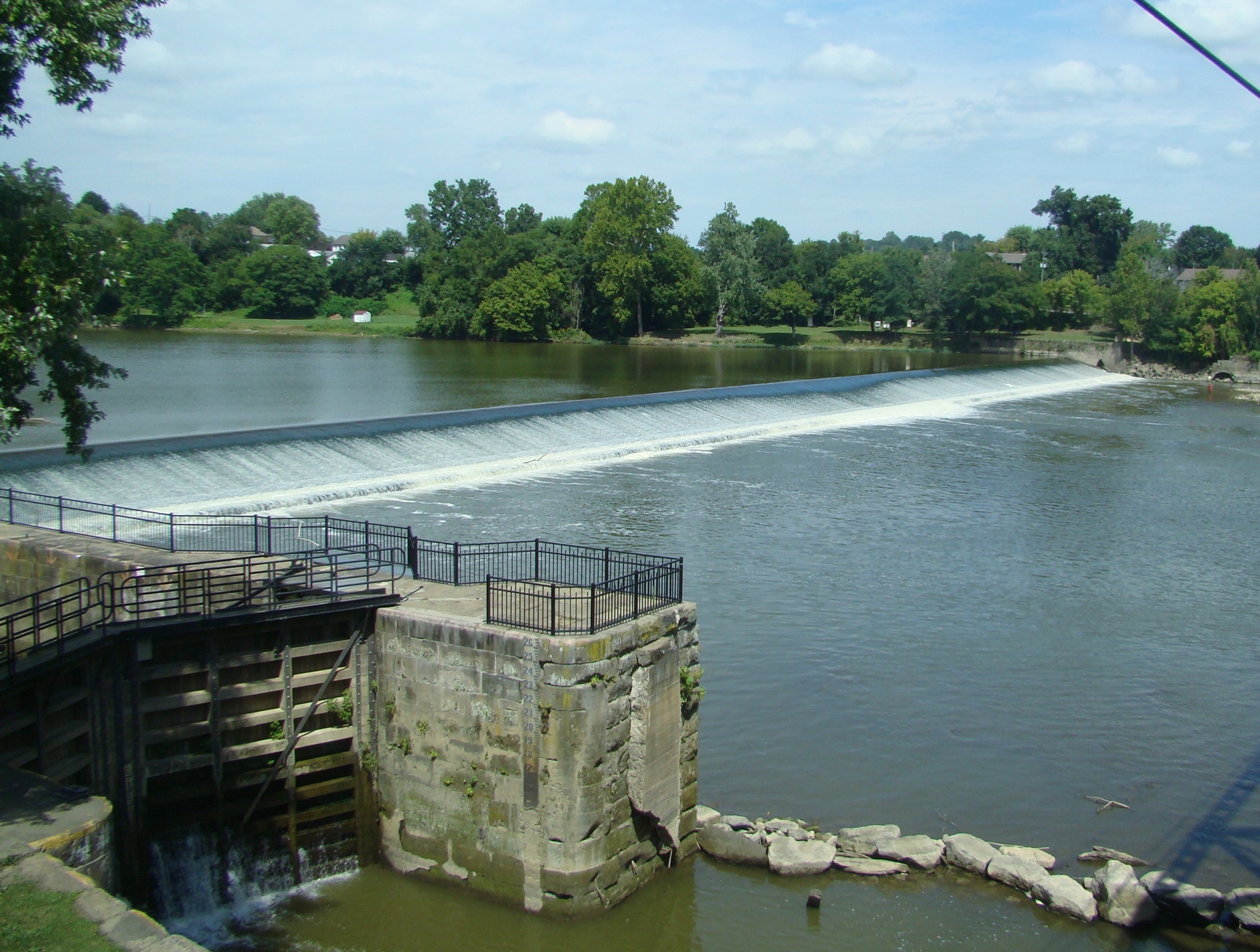


 For some reason, power plants attract me! This Willow Island Hydroelectric Plant was located across the Ohio River on my drive going up the river from Marietta, Ohio.
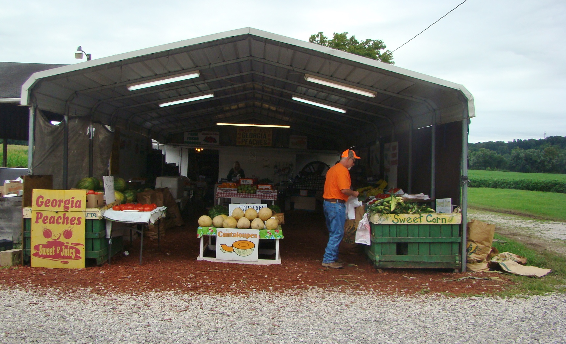 It was the perfect time of year for a Farmers Market to pick up some fresh Marietta tomatoes, sweet corn and a couple pieces of fudge. Valley View Farm Market even had a U-Pic section to pick your own peppers and tomatoes.
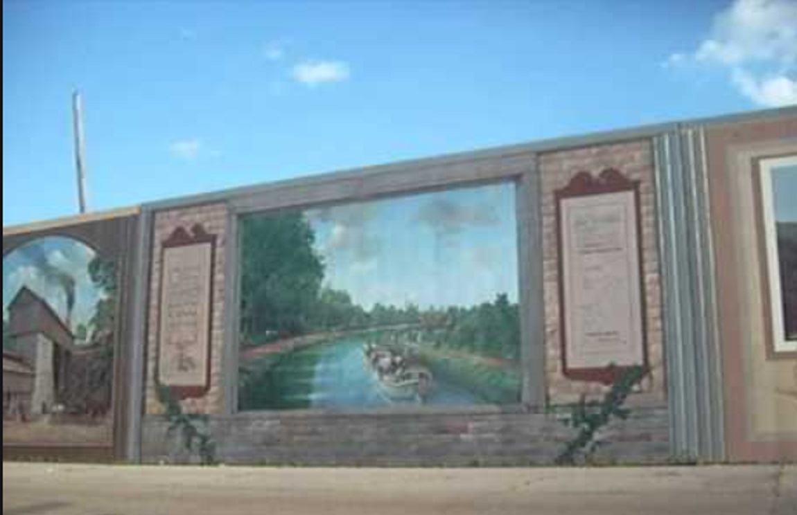
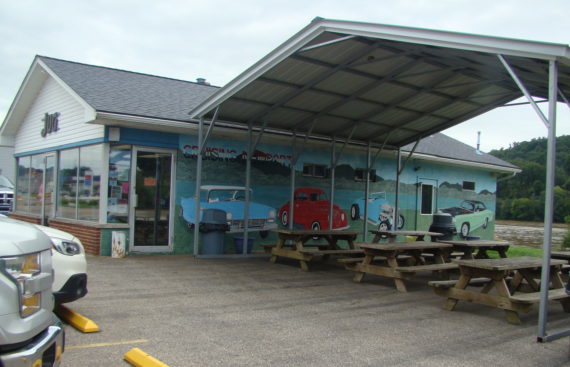 The Jug Restaurant in Newport, Ohio was a great stop for a refreshing drink and a chance to sit along the Ohio River for a while. They had a great mural of old cars on the side of their building as well as picnic tables and a nearby shelter.
 It’s always nice to see families enjoying the day together. Here father and son walk along the pier as they enjoy the river scene.
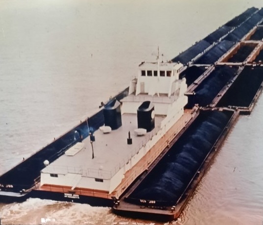
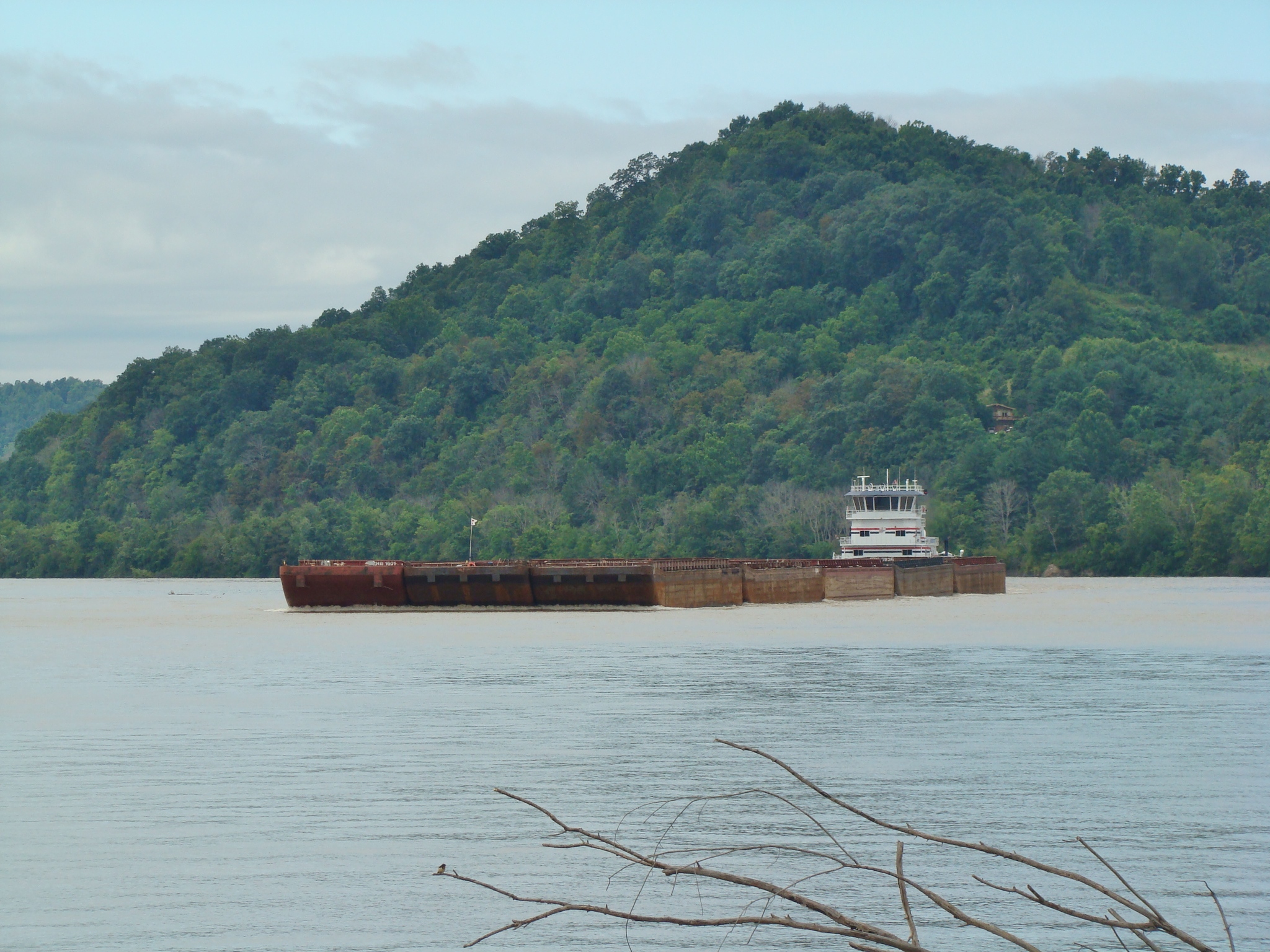 This Illinois tugboat going up the river was pushing thirty barges. Later in the day they came back loaded and covered. People were guessing they were loaded with steel.
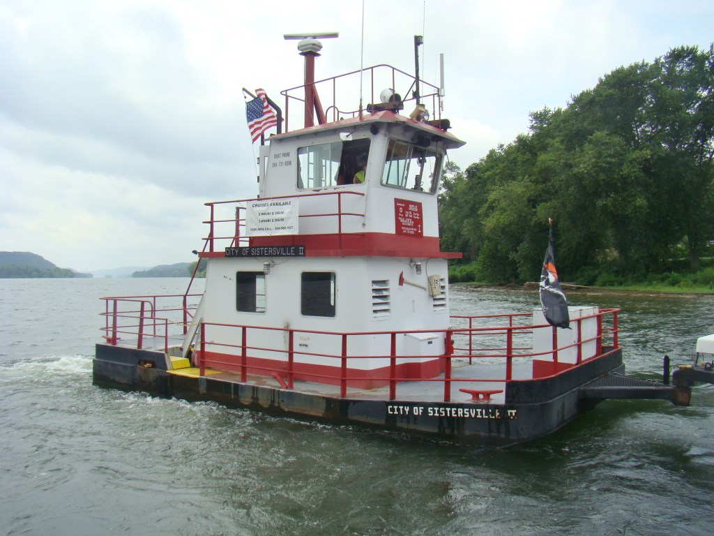
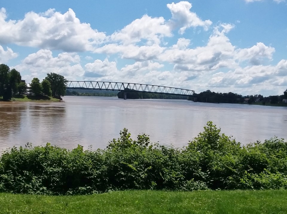
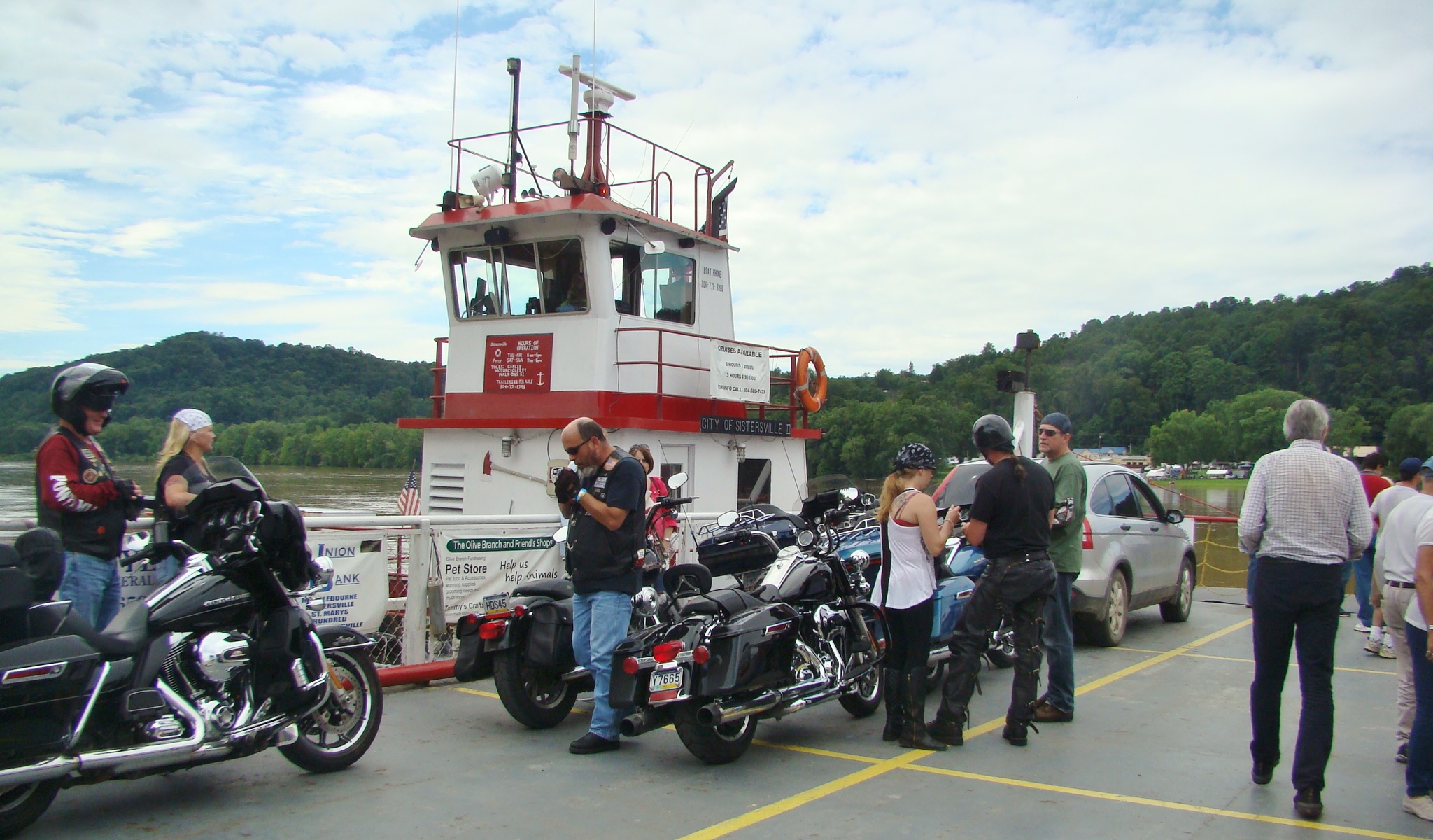 Reached the Fly Ferry in time for a couple rides at $1 per person from Fly, Ohio to Sistersville, WV. One time there were several motorcycles riding along.
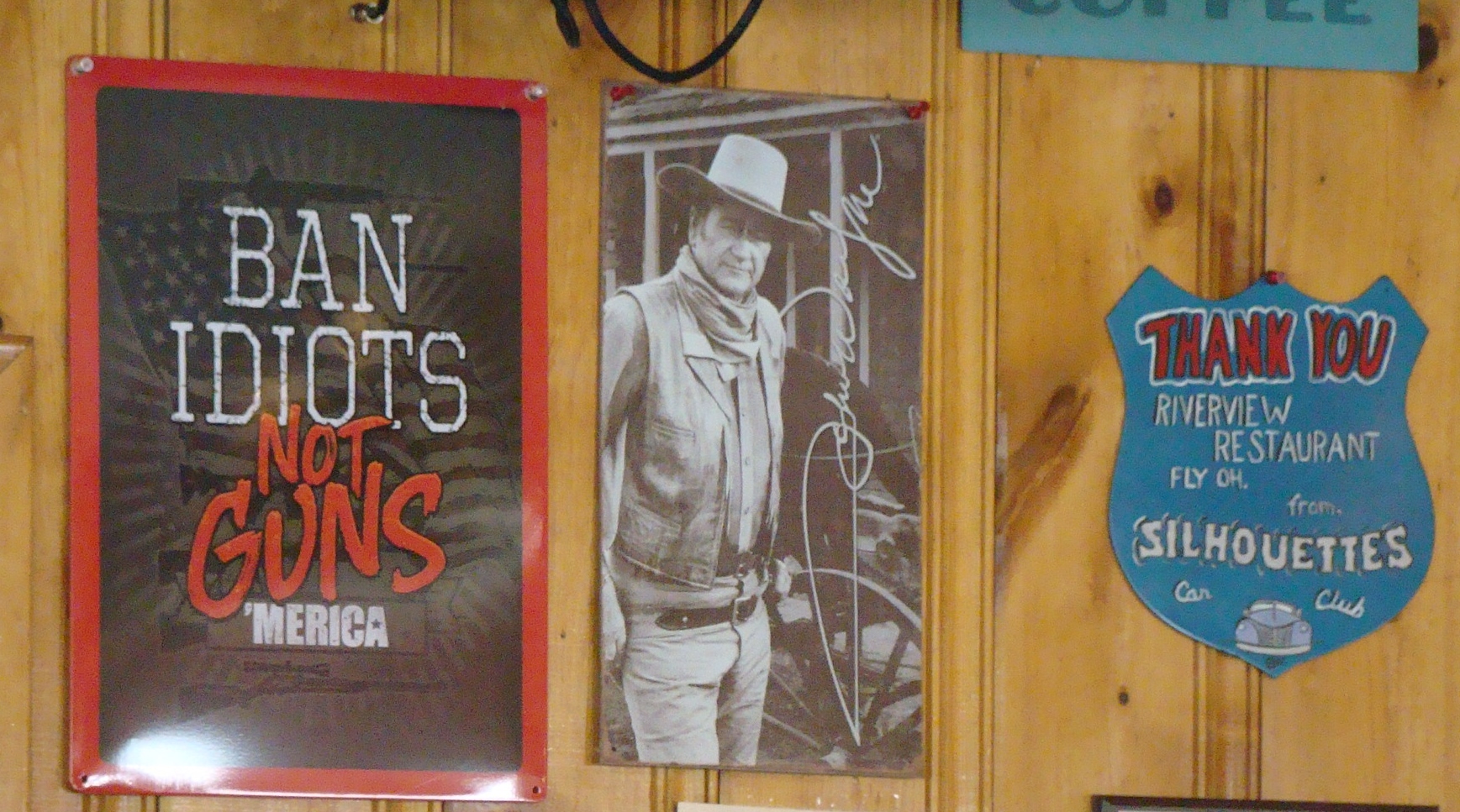 The Riverview Restaurant is a great place for a tasty lunch while watching the river activity out the window. Guess that’s why they call is Riverview! Had to agree with this sign on their wall next to a picture of John Wayne.
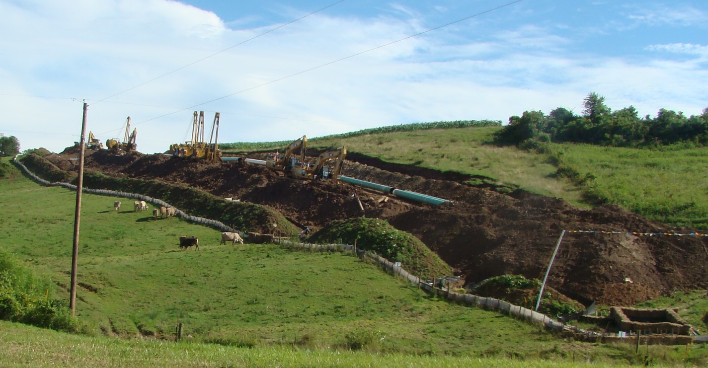 Heading home over a crooked back road made for a perfect ending for the day. Along the way the cows were learning to live with the pipeline that was invading their pasture.
 Most of the way, farmland and beautiful homes and barns reminded me of a saying:
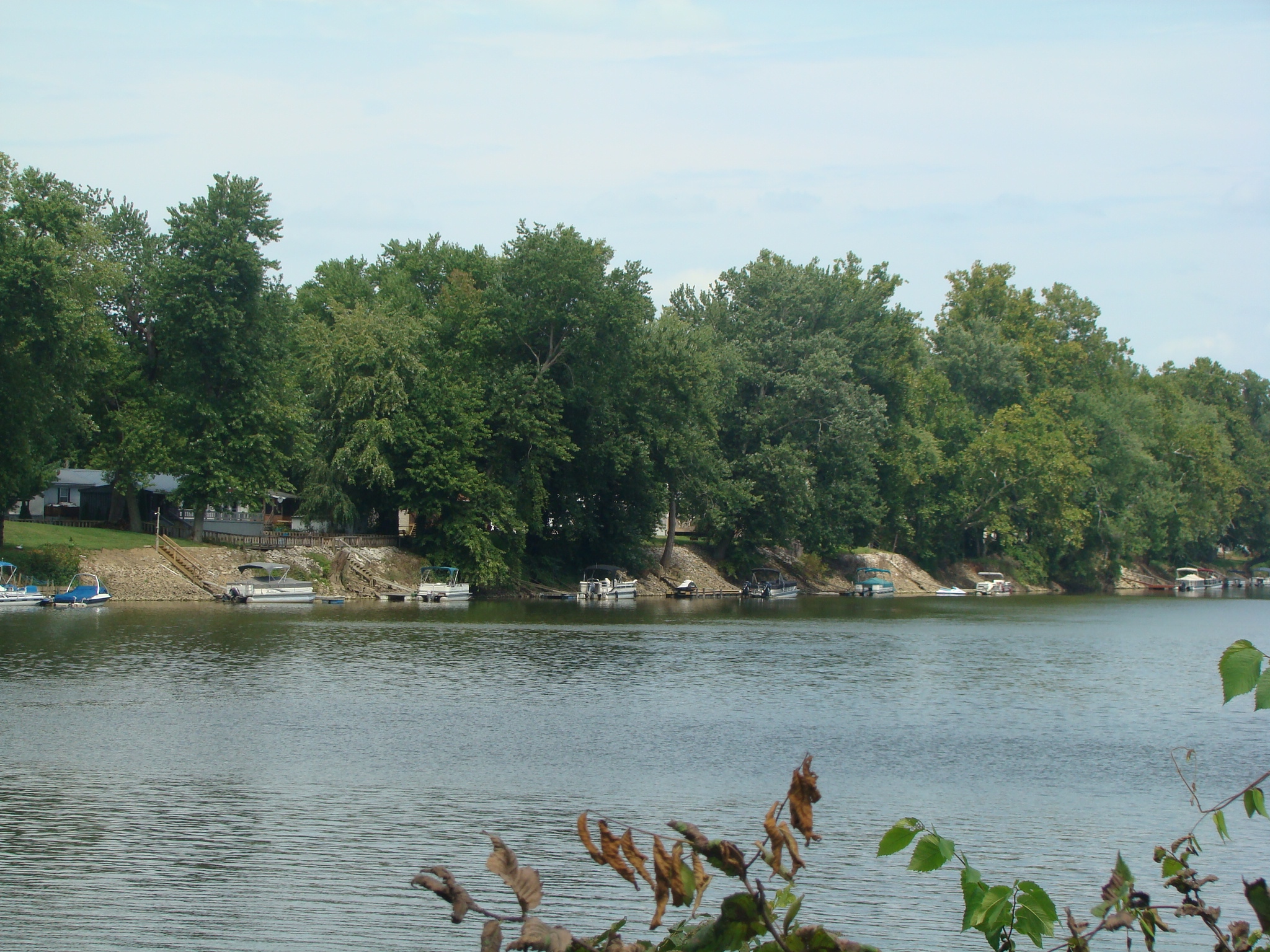
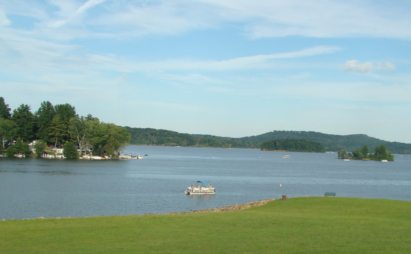 Almost home but stopped by Seneca Lake for a peaceful time by the water. This picture looks out from the dam area to that popular island for boaters. Guess you can tell that hanging out near the water is a favorite pastime of mine.
 One last stop before home to get a favorite ice cream cone from Orr’s Drive-In. Always enjoy that raspberry twist!